Spatialintelligencefor the field.
Autonomous drone + ground-robot teams operating as one digital workcell. Every soil sample coordinate-stamped. Every hectare turned into verified carbon credits.
per tonne · no spatial proof · no buyer trust
per tonne · coordinate-stamped · audit-ready
The gap is not in the carbon. It is in the proof.
Two units. One workcell.
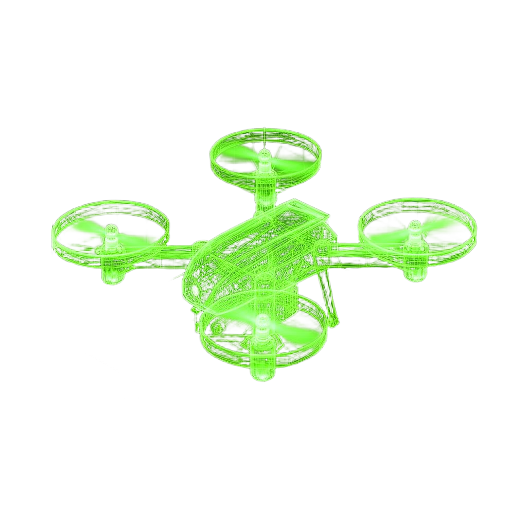
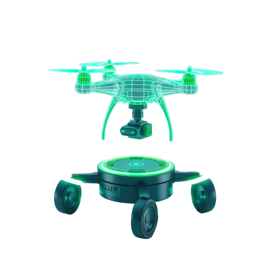
A drone scouts the canopy from above. A ground robot navigates the rows below. Their coordinate frames synchronise in real time so they operate as one organism.
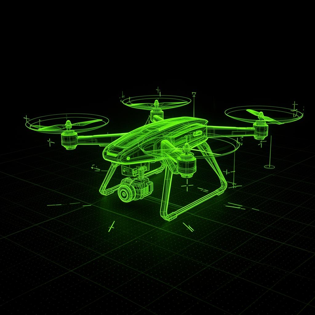
HempFinder Aero
Mapping · Localisation · Bandsync landing
- GPS accuracy
- ±2 cm RTK
- Flight time
- 42 min
- Payload
- 1.4 kg sensor pod
- Coord frame
- World · T_W
- Anchor
- 47.2156°N · 15.6234°E
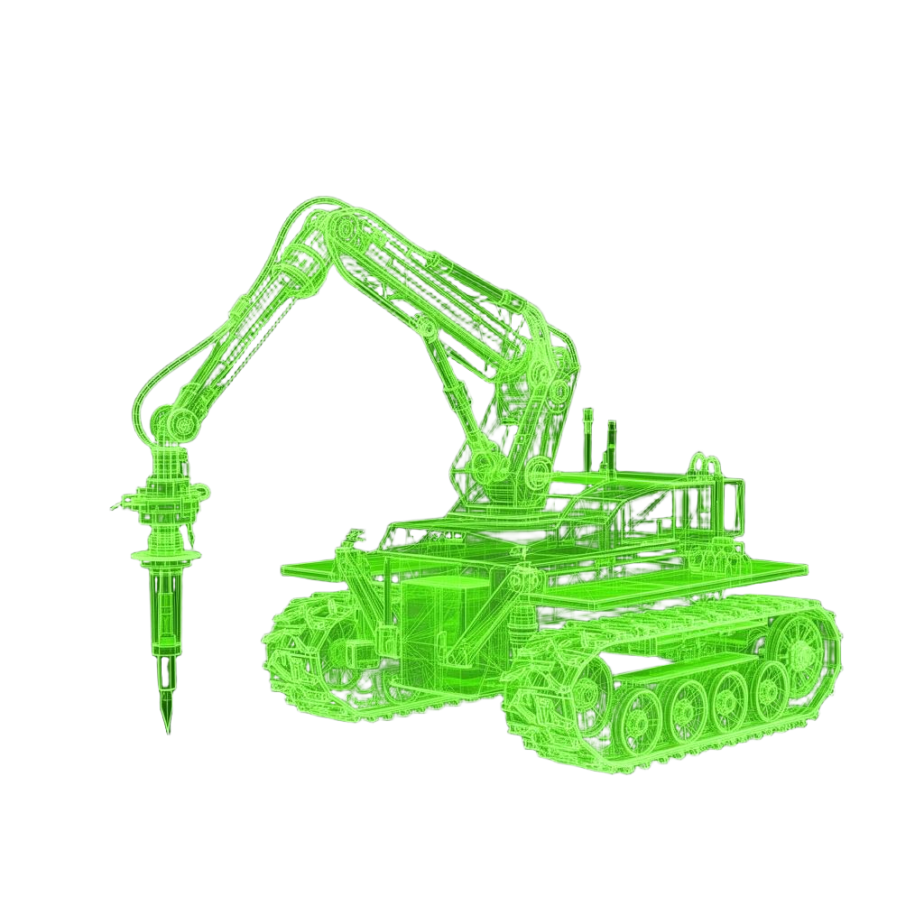
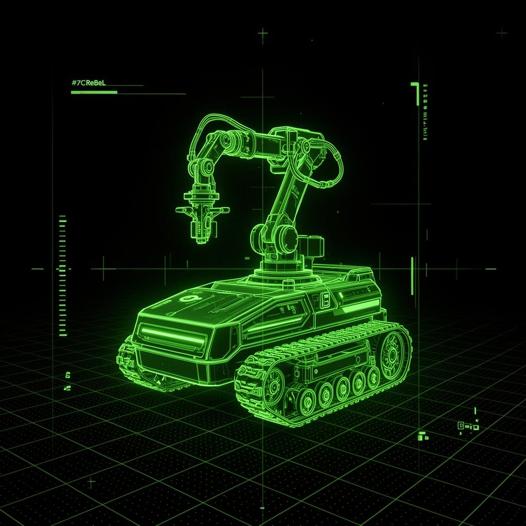
HempFinder Terra
Soil sampling · ESG telemetry · igus ReBeL arm
- Probe depth
- 0 – 250 mm
- TCP precision
- < 1 mm
- Joints
- A1 – A6
- Coord frame
- Robot · T_R
- Runtime
- 6.5 h continuous
World
Pin every leaf to the planet. Centimetre-true GPS so the same plant is always the same plant — season after season, audit after audit.
Robot
Drop the rover anywhere in the field. It re-orients in seconds and works the row as if it had always been there. No fences, no markers, no fuss.
Plant
Every hemp stalk gets its own digital twin. Soil shifts, wind tilts, rain washes — the plant stays known. Your data never drifts.

Tool
Tell the probe where to go in plain centimetres. The arm figures out the rest. Repeatable sampling that any agronomist can trust on day one.
Motion
Six joints, one fluid motion. Inverse kinematics turn intent into movement so the robot reaches every plant the same way, ten thousand times a day.
Sync
Drone meets rover, mid-row, mid-shift. It lands on a moving charging pad without anyone slowing down. Uptime stops being a meeting topic.
One 4×4 matrix bridges GPS to joint angle.
Forward kinematics tells the system where the probe tip is. Inverse kinematics turns each GPS waypoint into the A₁–A₆ configuration that reaches it without colliding with the canopy. A 3 cm miscalibration invalidates the entire credit dataset.
Every transformation
validated before it touches a plant.
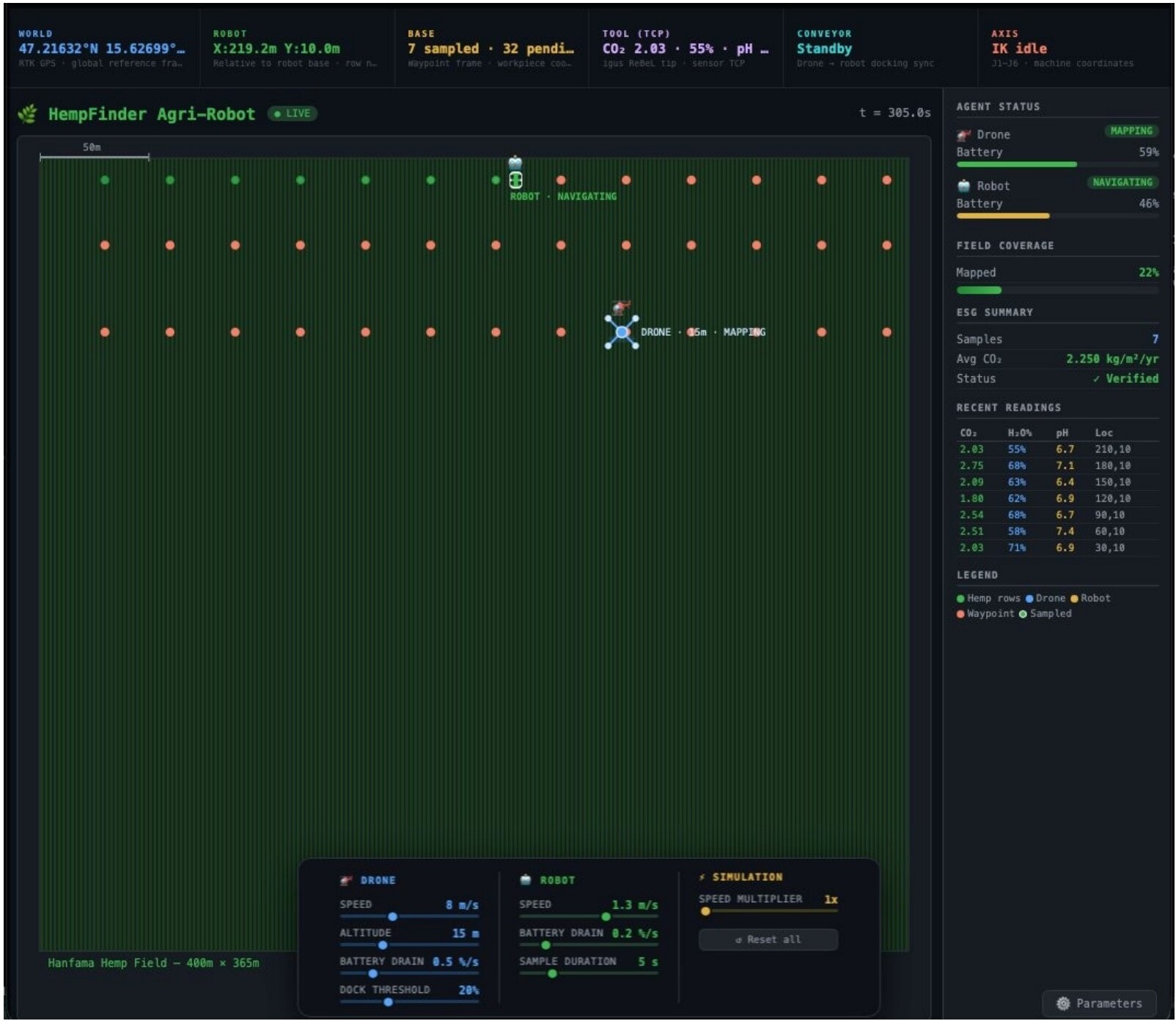
Renderer streams six coordinate frames in real time. Green dots = completed waypoints.
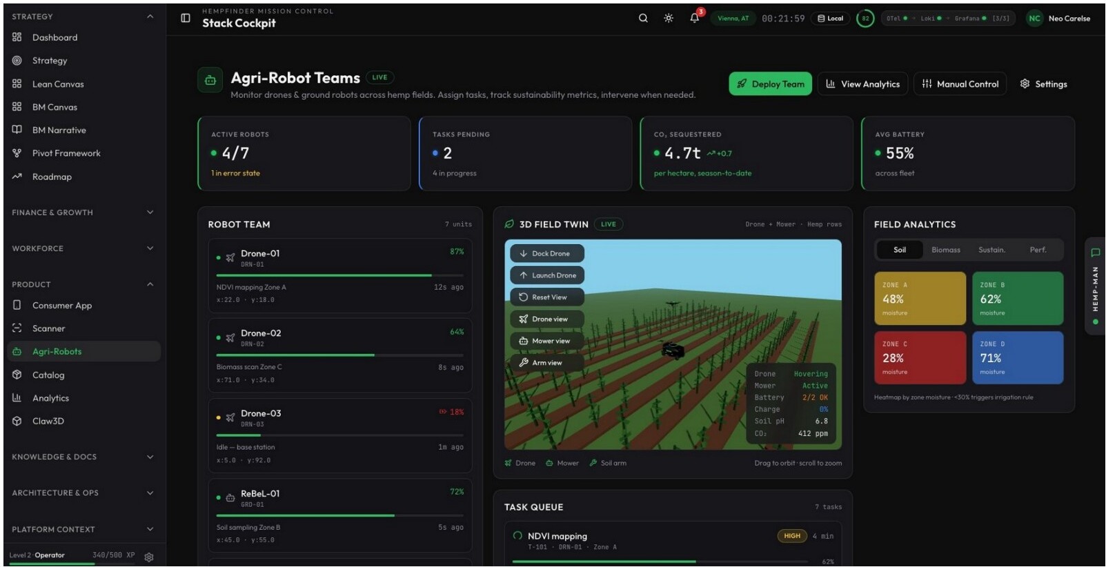
HempFinder mission control: active robots, CO₂ sequestered season-to-date, zone moisture heatmap.
Three custom Java agents — DroneAgent, GroundRobotAgent, SimVizBridge — stream simulation state via embedded HTTP to a browser renderer. The digital twin proves every coordinate transform before a single soil probe descends.
From soil to audit-ready credit.
Every reading is a spatially auditable fact, not a claim. Verifiable by Verra and Gold Standard.
Claim a pilot unit.
Limited Q3 2026 dispatch. Reservation is non-binding — we use it to size the pilot fleet and reach out with onboarding details for your region.